
A trip to Big South Fork National River & Recreation Area is a journey into one of the most rugged and beautiful parts of the American South. Located about 140 minutes from Knoxville's McGhee Tyson Airport (TYS), this destination requires a bit of driving but rewards you with unparalleled wilderness. This three-day itinerary balances the park's most famous geological landmarks with its deep cultural history and river beauty, ensuring you see the highlights without feeling rushed through the landscape.
Day 1: Arches and Overlooks
After flying into McGhee Tyson Airport and making the 96.6-mile drive, your first day should focus on the park's signature geological features. Start your afternoon at the Twin Arches trailhead. This moderate hike takes you to the North and South Arches, which are among the most impressive natural sandstone bridges in the Eastern United States. Spend time exploring the massive rock shelters located beneath the arches, which were once used by indigenous peoples and early settlers. The scale of these formations is difficult to capture in photos, so take your time to walk entirely around them.
As the sun begins to set, drive over to the East Rim Overlook. This is one of the most accessible and stunning views in the park, providing a panoramic look at the Big South Fork River as it carves through the gorge hundreds of feet below. Itâs the perfect spot to get your bearings and appreciate the vastness of the plateau. Finish your day by heading to your accommodation in Oneida or setting up camp at Bandy Creek. Make sure to check the NPS site for any trail updates before you head out for the day.
Day 2: The River Gorge and Historic Blue Heron
Devote your second day to the river and the park's industrial history. Start your morning at Leatherwood Ford, where you can walk along the riverbanks or cross the pedestrian bridge for a view of the rushing water. If you are feeling adventurous, the Angel Falls Overlook trail offers a steady climb to a cliffside view of a major rapid. The trail winds through hemlock groves and past massive boulders, showcasing the diverse ecosystem of the gorge. Pack a lunch to enjoy at the overlook while watching for hawks and eagles circling the thermals above the river.
In the afternoon, make the drive toward the Kentucky side of the park to visit the Blue Heron Mining Community. This abandoned coal town has been preserved as an outdoor museum with 'ghost structures' that mark where buildings once stood. Audio stations allow you to hear firsthand accounts from the people who lived and worked here. If you prefer not to drive, you can catch the Big South Fork Scenic Railway from Stearns, which offers a narrated journey down into the gorge. This combination of natural beauty and human history provides a well-rounded perspective of the Upper Cumberland Plateau.
Day 3: Waterfalls and Quiet Woods
On your final day, explore the southern reaches of the park or visit the impressive Slave Falls. The trail to Slave Falls and Needle Arch is a favorite for many, offering a cool, shaded hike through dense rhododendron thickets. Slave Falls is a 60-foot drop into a scenic sandstone bowl, and Needle Arch is a remarkably slender natural bridge just a short walk away. This area feels more intimate and quiet than the larger Twin Arches, providing a peaceful conclusion to your wilderness trip. The terrain here is typical of the plateau, with sandy soils and interesting rock outcroppings at every turn.
Before you start your drive back toward Knoxville, stop by the Bandy Creek Visitor Center to browse the bookstore and grab a souvenir. If you have a few extra hours, the Oscar Blevins Farm Loop is a gentle hike that takes you through a historic farmstead, offering a glimpse into the life of subsistence farmers who lived here before the park was established. The open fields are often a good place to spot white-tailed deer or turkeys. Allow yourself plenty of time for the return drive to TYS airport, as the winding roads of the plateau can be slower than expected during peak travel times.
Backcountry Tips and Permit Essentials
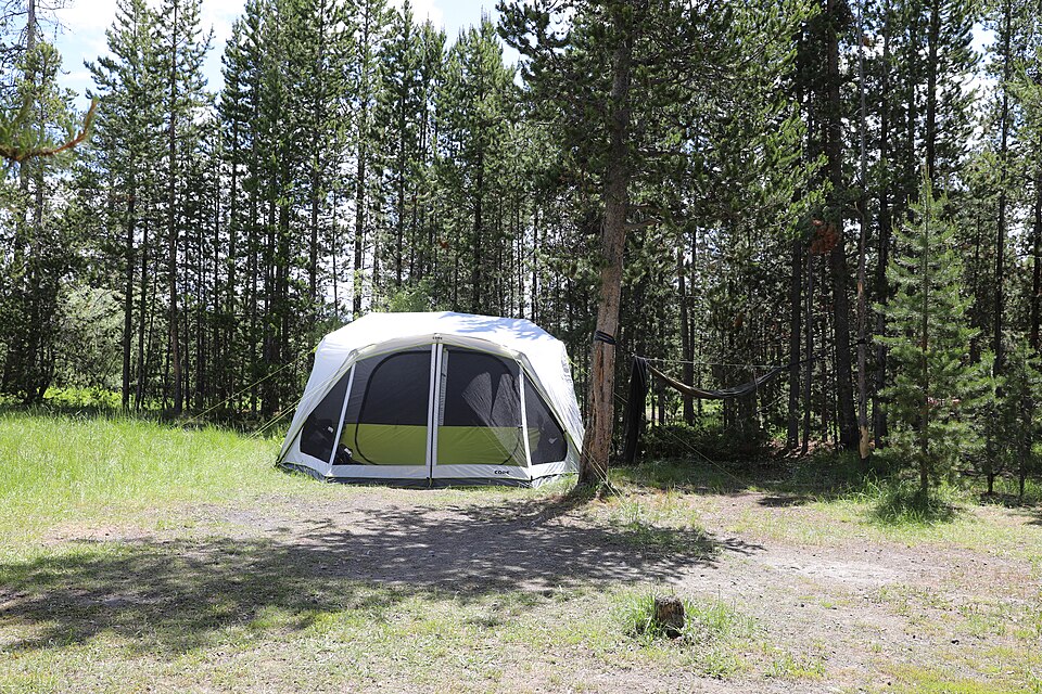
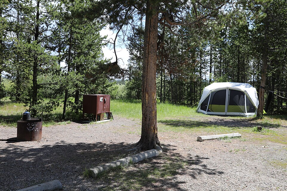
For those who wish to extend this itinerary into a longer backpacking trip, Big South Fork offers hundreds of miles of trails. If you choose to camp in the backcountry, remember that permits are required. These are generally easy to obtain but must be secured before you head into the woods. The permit fees are modest and help maintain the trail systems you will be using. When planning a multi-day hike, pay close attention to water sources, as the plateau can become dry during the late summer months, and you may need to carry more water than usual.
Always practice Leave No Trace principles, especially in the sensitive sandstone environments and around the historic sites. Bear-resistant food storage is mandatory in many areas, so come prepared with a bear canister or the knowledge of how to properly hang your food. The weather can change quickly, so having a paper map as a backup to your GPS is highly recommended, as the deep gorges can sometimes interfere with satellite signals. Checking the official park site for the latest alerts on trail conditions or bridge closures is a crucial step for any backcountry adventurer.
Gateway Cities and Logistics
The gateway cities of Oneida, Stearns, and Jamestown serve as essential hubs for your trip. These towns offer a variety of lodging options, from standard motels to cozy cabins and local guesthouses. They are also the best places to stock up on supplies, fuel, and groceries before entering the park, as services within the recreation area boundaries are limited. Each town has its own character, with Stearns focusing on its railroad heritage and Oneida serving as a central point for park access. Supporting local businesses in these communities is a great way to give back to the region.
When navigating between the different sections of the park, be aware that driving times can be longer than they appear on a map due to the winding nature of the roads and the need to drive around the deep river gorges rather than across them. A drive that looks short might take 45 minutes because of the topography. Planning your days by 'zone' (e.g., spending one day in the Bandy Creek area and another near Blue Heron) will help you maximize your time and minimize time spent behind the wheel. Always keep your fuel tank relatively full, as gas stations are sparse once you leave the main highways.

More ways to book Big South Fork
 Illustrative · Diego Angel
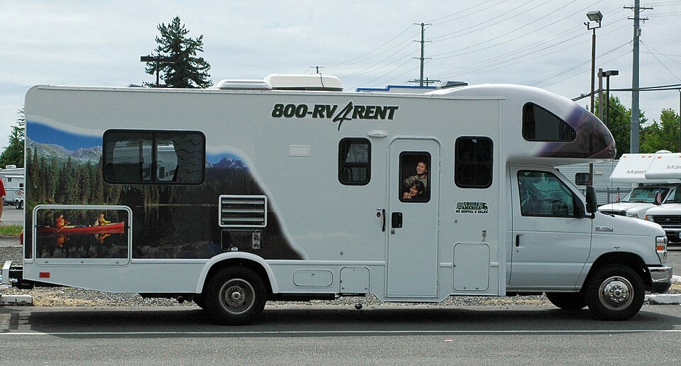
Sprinter Adventure Van
Small enough to park at the trailhead, comfy enough to sleep in.
$189/day (estimate)
Direct link · RVshare