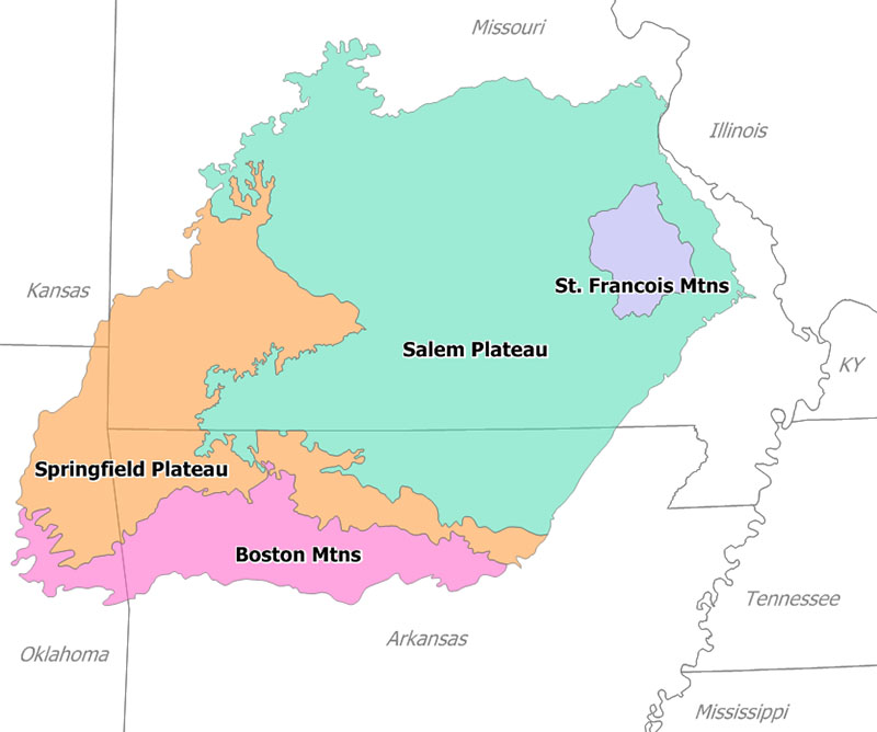
The Arkansas Ozarks reward a trip built around a few good outings rather than a long checklist. You can hike beneath limestone bluffs, paddle part of the Buffalo National River when conditions allow, or follow winding roads through hardwood forest. For two to four days, pick a base near your main interest, then combine one substantial activity each day with smaller stops that do not require another long drive.
Explore the Buffalo National River
The Buffalo National River is a natural starting point for an Arkansas Ozarks visit. Its free-flowing river corridor combines gravel bars, forested slopes, and limestone bluffs, with access areas spread over a large landscape. You do not need to commit to a full paddling day to appreciate it: a riverside picnic or short walk near an established access can make a satisfying introduction.
If you want to paddle, choose the river section around current water levels and your group's experience. The upper river near Ponca is especially sensitive to low water during dry periods. Arrange shuttle logistics before launching, and ask an authorized outfitter about suitable options. Carry properly fitted life jackets and follow current river guidance. Check the official NPS website for alerts and access information; do not assume that clear skies mean favorable river conditions.
Choose a Hike That Matches Your Day
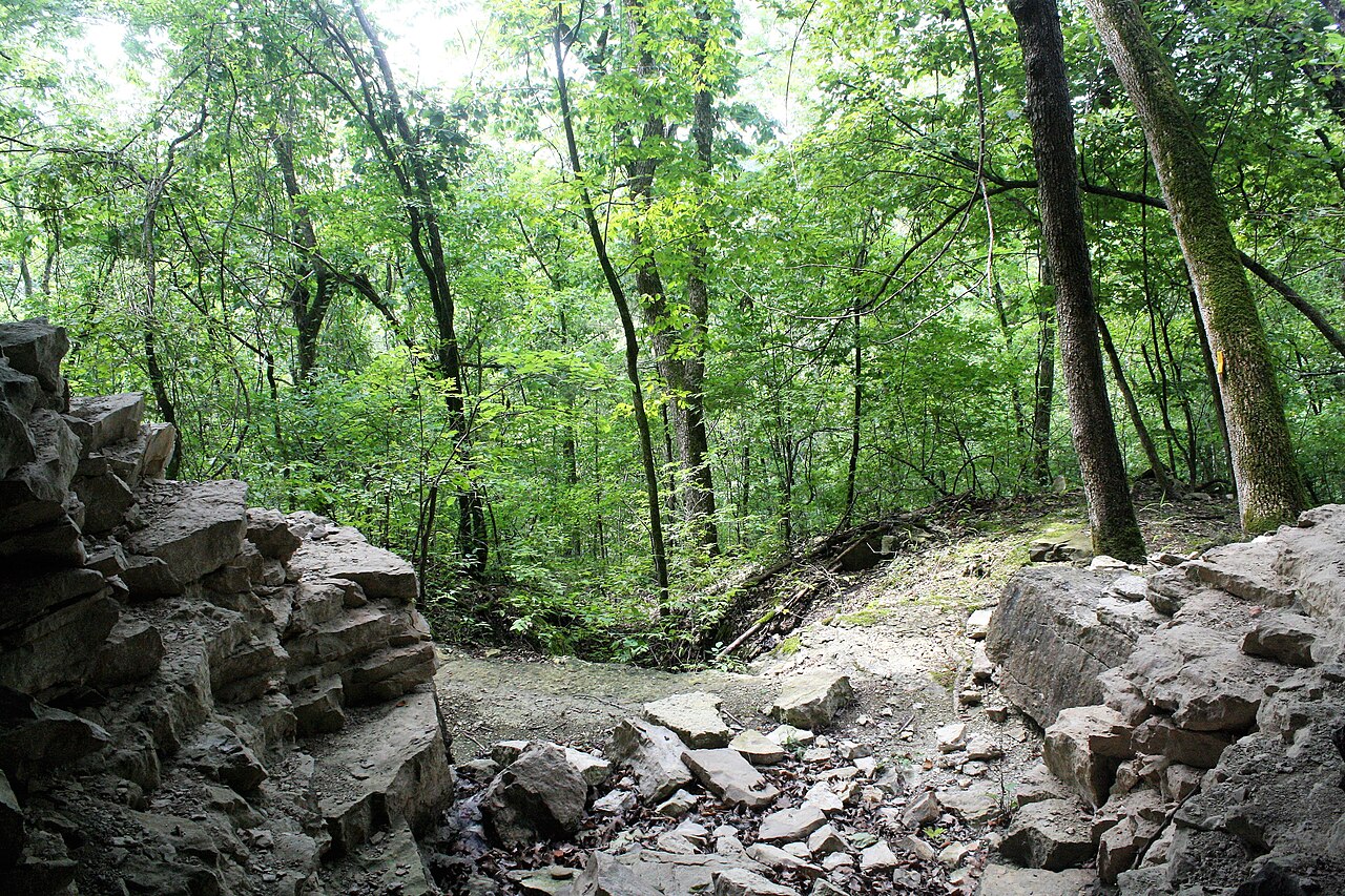
Lost Valley near Ponca is a well-known choice for woodland scenery, rock formations, and a waterfall whose flow depends on recent weather. It is still a trail outing, not a paved sightseeing stop, and portions involve uneven ground. Families or casual walkers can turn around before the more demanding upper features rather than treating the farthest point as mandatory.
For a longer outing, look into maintained segments of the Buffalo River Trail or the Ozark Highlands Trail. These are extensive trail systems, so identify a specific trailhead, turnaround point, and distance using official maps. Do not select a route only because a photograph shows a dramatic overlook. Bluff edges, steep grades, and remote access can change the character of a hike. Carry water, download navigation beforehand, and check current trail notices for storm damage or closures.
Take a Scenic Drive Without Rushing It
Arkansas Highway 7 offers a classic mountain-driving experience through the Ozarks, including the Jasper area and wooded stretches farther south. The Highway 23 corridor known as the Pig Trail is another established scenic route through the Boston Mountains. Both are better enjoyed as deliberate drives with legal pullouts and a few chosen stops than as fast connectors between distant attractions.
Build your route around the area where you are sleeping. From Jasper, combine nearby overlooks and river access rather than adding a long detour to western Arkansas. From the western Ozarks, make Highway 23 part of a separate loop. Curves, grades, weather, and slow-moving vehicles can make travel feel longer than map mileage suggests. Fill up before remote stretches, download directions, and never stop in a traffic lane or on a blind curve for photographs.
Look for Wildlife and Plan Kid-Friendly Stops
The Boxley Valley area is known for elk, making it a worthwhile addition to a visit around Ponca. Sightings are never guaranteed, and early or late daylight can be more productive than a busy midday stop. Watch from appropriate public locations, stay clear of private property, and use binoculars instead of approaching animals. Roads through the valley remain working travel routes, not wildlife-viewing parking lots.
With children, combine one short walk with time to observe the river, identify tracks, or listen for birds. An official visitor center, when open, can help orient the day and may offer junior ranger activities. Choose established picnic areas over improvised roadside stops. Along gravel bars, supervise closely around water and account for changing levels. A flexible morning near one river access often works better than several trailheads separated by winding drives.
Keep a Realistic Rainy-Day Plan
Rain can transform a hiking day, particularly where your route includes creek crossings, slick stone, or steep access roads. Avoid making a waterfall hike the automatic backup during heavy rain: the same weather that increases flow can also complicate access. Check official alerts first, and postpone river activities if conditions are unsuitable. A short outing after weather improves is different from pressing ahead through a storm.
For indoor time, use the gateway that fits your base. Eureka Springs has a historic downtown suited to browsing between showers, while Bentonville offers Crystal Bridges Museum of American Art if you are staying in the western Ozarks. These are separate geographic options, not quick substitutes from every Buffalo River campground. Check official venue information before driving. A visitor-center stop, a leisurely meal in Jasper, or an afternoon at your cabin may be the more practical choice.