
Exploring the Mogollon Rim requires a balance of scenic transit and quiet immersion. This three-day itinerary is designed to take you from the bustling gateway towns up to the serene heights of the Colorado Plateau. Starting from the nearest regional airport in Show Low or driving up from the Phoenix area, you will experience the dramatic shift in landscape that makes this region so special. Prepare for breathtaking vistas, pine-scented air, and some of the best stargazing in the American Southwest.
Day 1: The Ascent and the First View
Begin your journey by arriving at Show Low Regional Airport (SOW) and picking up a rental vehicleâa high-clearance SUV is recommended for the best experience. The 67-mile drive to the heart of the Rim will take you through the expansive Sitgreaves National Forest. Your first stop should be the Mogollon Rim Visitor Center to pick up trail maps and check for any local fire restrictions or weather alerts.
Spend your afternoon driving the eastern portion of Forest Road 300. Pull over at the Mogollon Rim Overlook for your first real sense of the scale; the land simply drops away beneath your feet. For a short introductory hike, try the Military Sinkhole Trail, which offers a moderate climb and excellent views. As evening approaches, head to your campsite or lodge in the Pine-Strawberry area. Enjoy dinner at one of the local family-run eateries in Pine, where you can sample mountain-style comfort food before settling in for a night under a sky filled with more stars than you thought possible.
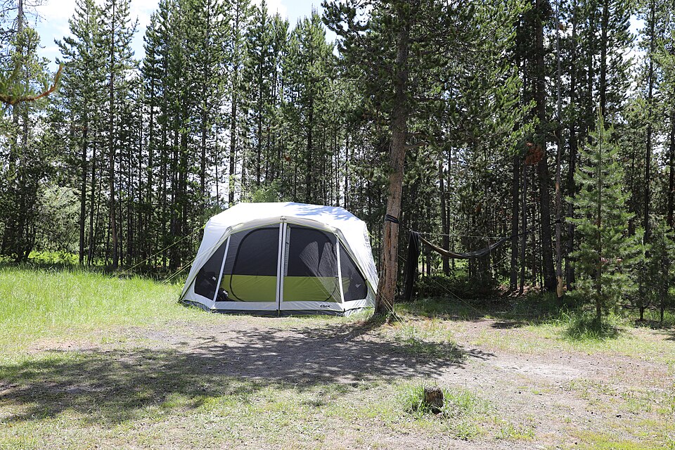
Day 2: Lakes, Trails, and Tonto Natural Bridge
Start your second day early to beat the crowds at Woods Canyon Lake. After a quick breakfast, head to the water for a morning of kayaking or a leisurely three-mile walk around the lake perimeter. The water is often glass-calm in the mornings, reflecting the surrounding forest perfectly. Mid-morning is the best time for photography as the sun illuminates the deep blues of the water.
In the afternoon, head south to Tonto Natural Bridge State Park. Spend a few hours hiking down to the bottom of the canyon to stand beneath the massive travertine arch. The mist from the hanging gardens above provides a natural cooling effect. After exploring the bridge, return to the Rim Top Trail for a sunset stroll. The western light hitting the limestone cliffs creates a vibrant display of colors. This is a great time to pack a picnic and sit near the edge, watching the shadows grow long over the Tonto National Forest. The contrast between the cool mountain air and the vast, warm valley below is a highlight of the trip.
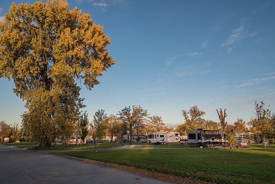
Day 3: History and High-Country Wandering
On your final day, delve into the human history of the region. Visit the historic Strawberry Schoolhouse, then head back up to the Rim to explore the cabin sites and old homestead ruins scattered near the General Crook Trail. This trail follows the historic military route used in the late 1800s. It is a quieter section of the forest where you are more likely to encounter wildlife like elk or wild turkeys.
Before you begin your drive back to the airport or home, stop by the Willow Springs Lake for one last look at the high-country water. If you have time, take a detour through the Christopher Creek area, a lush riparian zone with a bubbling stream that feels worlds away from the arid desert. Grab a local snack in Payson as you pass through, perhaps some jerky or local honey, to take a piece of the Rim home with you. This itinerary covers the highlights but leaves enough room for you to find your own secret overlook or quiet grove of pines.
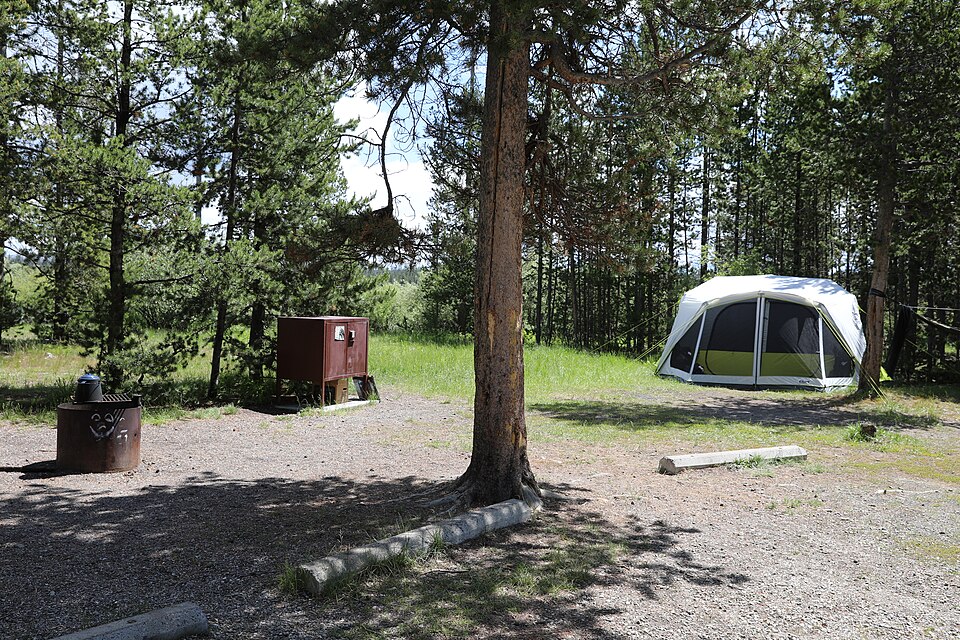
Travel Tips for a Smooth Trip
Navigating the Mogollon Rim is straightforward, but a few tips will make your trip much more enjoyable. First, remember that cell service is extremely spotty once you leave the main highways. Download offline maps and have a physical backup. The daily budget of roughly $140 should cover modest lodging, fuel, park entrance fees, and meals, but prices can fluctuate based on the season.
Fuel up in Payson or Show Low, as there are no gas stations once you are up on the Rim Road. The weather can change in an instant, so even if the forecast calls for sun, keep a rain shell and a warm fleece in your daypack. Lastly, the elevation here ranges from 7,000 to 8,000 feet; stay hydrated and take it slow on your first day to allow your body to adjust. Respecting the 'Leave No Trace' principles ensures this fragile and beautiful environment remains pristine for the next traveler who comes seeking the edge of the world.
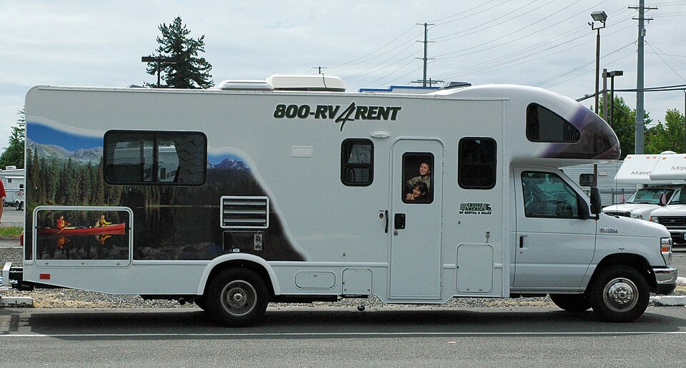
Expanding Your Adventure
If you have an extra day or two, consider extending your trip further east toward the White Mountains or west toward the Sedona red rocks. The Mogollon Rim is a massive feature that stretches across a significant portion of Arizona, and every twenty miles the vegetation and views shift slightly. For those interested in more technical recreation, there are areas nearby suited for rock climbing and more intense mountain biking trails.
You might also explore the various forest service roads that lead away from the Rim and into the deep interior of the Coconino National Forest, where you can find secluded meadows and hidden springs. Regardless of how long you stay, the Rim has a way of drawing people back. Its combination of accessibility and wildness is rare. Check the official National Park Service or Forest Service websites for the most current information on trail closures or seasonal events that might coincide with your visit, ensuring you make the most of every mile.

More ways to book Mogollon Rim
 Illustrative · Diego Angel
Sprinter Adventure Van
Small enough to park at the trailhead, comfy enough to sleep in.
$189/day (estimate)
Direct link · RVshare