
This three-day Appalachian Trail - CT itinerary takes you through the heart of the Litchfield Hills, balancing strenuous mountain climbs with peaceful riverside walks. Starting from Bradley International Airport (BDL), you are just a 90-minute drive away from the quiet beauty of Western Connecticut. This plan is designed for those who want to experience the highlights of the AT, including its highest peaks and its most charming gateway towns, while enjoying the rugged splendor of the New England backcountry.
Arrival and the Riverside South
After landing at Bradley International Airport, pick up your rental vehicle and head west for about 48 miles. Your first stop is the town of Kent, a quintessential New England village that serves as your southern anchor. Begin your journey at the Bulls Bridge trailhead. The first day is dedicated to the relatively flat but incredibly scenic 'River Walk.' This section follows the Housatonic River for several miles, offering glimpses of the white water and the historic covered bridge.
Spend your afternoon hiking north toward Schaghticoke Mountain. This area offers some elevation gain and provides excellent views of the river valley below. As you hike, keep an eye out for the vibrant birdlife that calls the riverbanks home. After a few hours on the trail, head back into Kent for a hearty dinner at a local tavern. For your first night, consider staying at a local inn or setting up camp at one of the designated sites near the river to fully immerse yourself in the sounds of the Connecticut woods.
The Ledges and the Great Valley
On your second day, prepare for a more challenging trek. Drive north toward Cornwall and access the trail at St. Johnâs Ledges. This section is famous for its steep, rocky ascent that will test your legs but reward you with some of the best views in the state. From the top of the ledges, the landscape opens up to show the winding Housatonic and the rolling hills stretching toward the horizon.
Continue your hike toward Randâs View. This is often cited as the most beautiful vista in Connecticut, featuring a wide-open pasture that looks out toward the northern mountains. Itâs a perfect spot for a long lunch and some photography. In the afternoon, descend into the valley and make your way toward the town of Falls Village. Here, the trail passes near the Great Falls of the Housatonic, which are especially impressive in the spring. Spend the evening in the Salisbury area, preparing for your final ascent the following day. The transition from the steep ledges to the open meadows provides a wonderful variety of terrain.
Summiting the Highest Peak
Your final day focuses on the northernmost section of the Connecticut AT, featuring the climb to Bear Mountain. Start early from the Undermountain trailhead near Salisbury. The climb is steady and becomes quite steep near the top, requiring some light scrambling over rock faces. Reaching the summit cairn marks your arrival at the highest point in Connecticut. The 360-degree views are a fitting climax to your three-day journey, offering a look back at the terrain youâve covered.
If you have the energy, continue north into Sageâs Ravine, a stunning gorge that marks the border with Massachusetts. The cool, damp air and cascading waterfalls of the ravine offer a refreshing contrast to the exposed summit of Bear Mountain. After descending, head into Salisbury for a final New England meal. The drive back to Bradley International Airport takes about 90 minutes, so ensure you leave enough time to return your rental and check in for your flight. This itinerary captures the sheer diversity of the Connecticut highlands, from deep river valleys to wind-swept peaks.
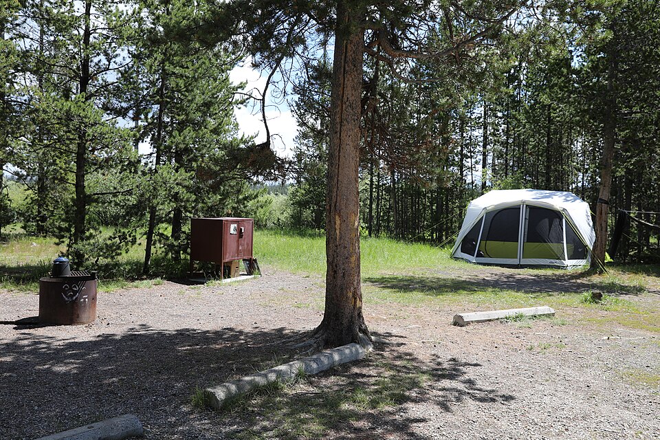
Where to sleep
Harvest Hosts stays on the way to Appalachian Trail - CT
Partner link · Harvest Hosts
Logistics and Transport Tips
Navigating the Connecticut section of the AT is straightforward if you plan your logistics in advance. Since this is a point-to-point trail, many hikers utilize local shuttle services or travel with two cars to leave one at each end of their daily section. If you are traveling solo, focus on out-and-back hikes from major trailheads like those at Route 341 in Kent or Route 41 in Salisbury. Parking at these locations is generally available, but lots can fill up by mid-morning on sunny autumn Saturdays.
Cell service can be spotty in the deeper valleys and higher ridges, so it is highly recommended to download offline maps or carry a physical trail map of the Litchfield Hills. The trail is well-marked with white blazes, but side trails to water sources or viewpoints are marked in blue. Always check the official NPS or Appalachian Trail Conservancy websites for the most current trail conditions, as seasonal storms can sometimes cause blowdowns that may temporarily obstruct the path. A little preparation ensures that your focus remains on the scenery rather than the logistics.
Packing Essentials for the Litchfield Hills
When packing for your Connecticut adventure, layers are your best friend. Even in the summer, the temperature can vary significantly between the river valley and the mountain summits. Sturdy, broken-in hiking boots are essential for the rocky sections of Bear Mountain and St. Johnâs Ledges. Because you will be spending time near the water and in dense woods, high-quality insect repellent and moisture-wicking clothing are necessities.
Don't forget a reliable water filtration system if you plan on camping, as while there are many streams, the water must be treated. A headlamp, first-aid kit, and extra food should always be in your pack, even for day hikes. If you are visiting during the fall, orange blaze clothing is recommended as the trail passes near areas where hunting may be permitted in adjacent lands. Finally, carry a lightweight camera or a phone with a good lens; the vistas at Randâs View and Lions Head are moments you will definitely want to capture and keep.

More ways to book Appalachian Trail - CT
 Illustrative · Diego Angel
Sprinter Adventure Van
Small enough to park at the trailhead, comfy enough to sleep in.
$189/day (estimate)
Direct link · RVshare