Harvest Hosts stays on the way to Big Sur
RV Park
Best for: RV travelers
Membership for overnight RV stays at farms, wineries and other unique spots along your route.
Est. from $150/day · estimateCheck availabilityPartner link · Harvest Hosts


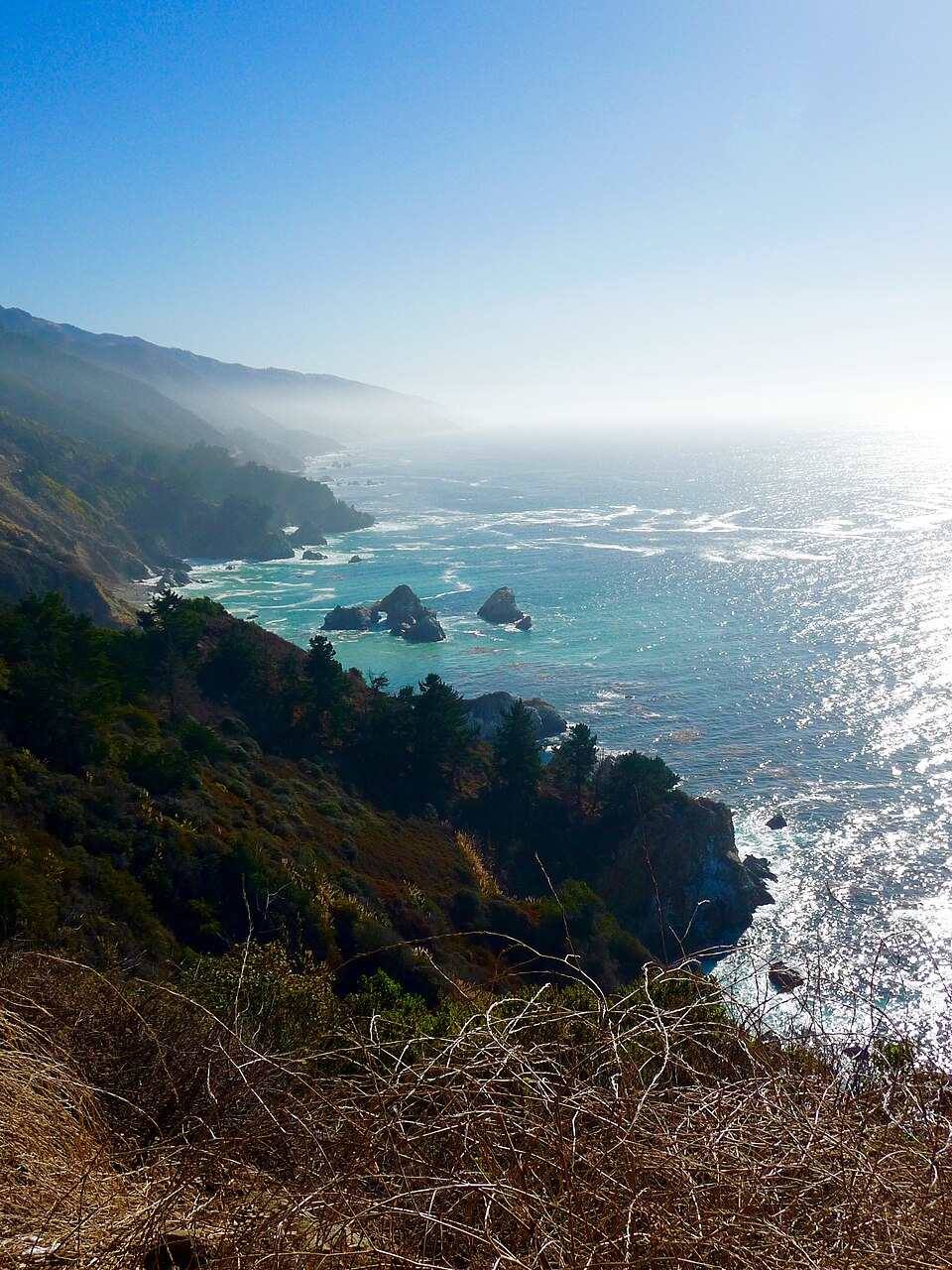
Ninety miles of cliffs, redwoods and fog where the mountains fall into the Pacific.
Reservations · Moderate
Highway 1 Access and State Park Reservations
Overnight stays in Big Sur require booking months in advance through the official state portal or private lodging sites. Day-use at Pfeiffer Beach is managed via a separate fee system and parking is not guaranteed. Always check Caltrans for Highway 1 closures, as landslides frequently disrupt through-traffic.
Check official reservation infoFly in · nearest airport
Monterey Regional Airport · 1 h 1 min drive
Partner link · Aviasales
Checks availability with the partner directly — not a confirmed booking on our end.
RV Park
Best for: RV travelers
Membership for overnight RV stays at farms, wineries and other unique spots along your route.
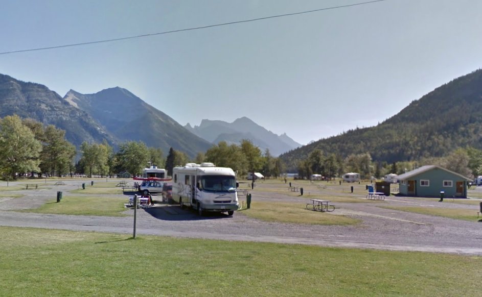
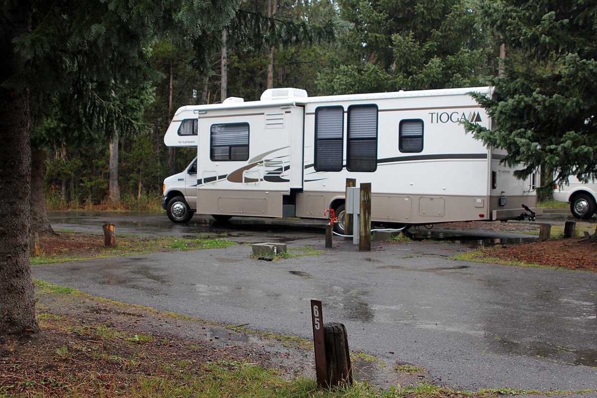 Illustrative · Yellowstone National Park from Yellowstone NP, USA · Public domainOutside the park · easier to book
RV Park
Best for: RV travelers
Book RV parks and campgrounds online with full hookups near the park.
Campground
Best for: Tent camping
Private campgrounds, cabins and glamping just outside the park, often with availability when park sites sell out.
Vrbo
Expedia
Photos are illustrative, not actual listings. Opens Vrbo's or Expedia's own search. Minialife may earn a commission on bookings, at no extra cost to you.
Traveling by RV near Big Sur?
Harvest Hosts membership: 5,000+ unique RV stops. Minialife readers get 20% off the first year.
Partner link · Harvest Hosts
Minialife may earn a commission when you book through links on this page, at no extra cost to you. Learn more
Checks availability with the partner directly — not a confirmed booking on our end.
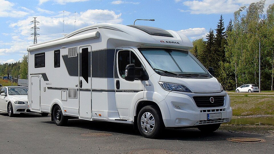
Class C Motorhome — Sleeps 4
From $245 / day
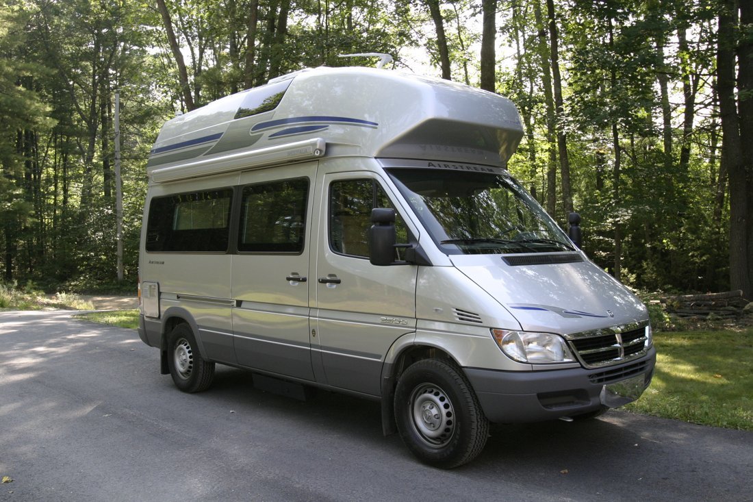
Sprinter Adventure Van
From $189 / day
Car rental · Car rentals at MRY
Est. from $45/day · estimate
Partner link · Aviasales
Partner link · EconomyBookings
Partner link · QEEQ
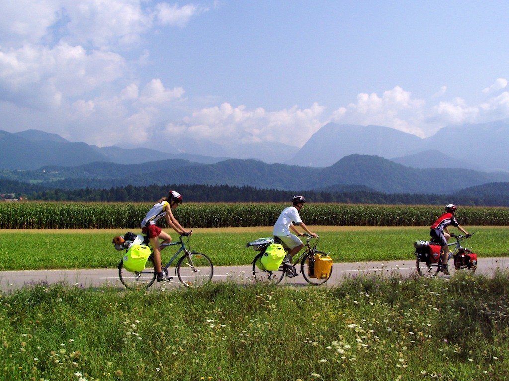
Partner link · BikesBooking
Partner link · Klook
Partner link · Tiqets
Partner links via Travelpayouts. Prices are estimates; the partner's site shows live prices. Minialife may earn a commission at no extra cost to you.
A little structure. Plenty of freedom.
Suggested: 8:30 AM from Monterey
Bixby Creek Bridge
Observe the historic arch bridge from designated northern pullouts; never stop on the bridge itself.
Pfeiffer Big Sur State Park
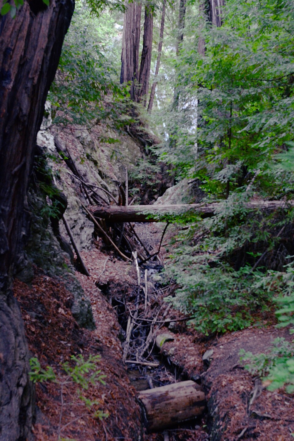
Walk the Valley View Trail for a look at the Big Sur River and ancient coastal redwoods.
Allow 1.5 to 2 hours; traffic and fog significantly impact travel times
Fog is frequent in summer mornings; stay within designated viewpoints for safety.
Suggested: 9 AM from Big Sur Village
Julia Pfeiffer Burns State Park
View McWay Falls dropping into the ocean from the established overlook trail.
Pfeiffer Beach
Visit the shoreline to see Keyhole Rock; check for parking availability before descending Sycamore Canyon Road.
Allow 1 hour; Sycamore Canyon Road is narrow and steep
The beach below McWay Falls is strictly closed to the public; remain on the Overlook Trail.
Suggested: 8 AM from Big Sur Village
Andrew Molera State Park
Explore the Creamery Meadow Trail for a more open, meadow-to-beach hiking experience.
Point Sur State Historic Park
View the volcanic rock and lighthouse from the highway or check for official guided tour availability.
Allow 1 hour; check for seasonal river crossings at Andrew Molera
Ocean temperatures are cold with dangerous rip currents; avoid swimming.
Pick up your vehicle at Monterey Regional Airport (MRY) and secure supplies in Carmel-by-the-Sea. Drive south while it is light to navigate the winding coastal cliffs safely.
Standard cars are ideal for Highway 1; large RVs face length restrictions on specific curves and limited parking at viewpoints.
The cliffs near Bixby Bridge offer classic sunset views, though marine layers may obscure the horizon seasonally.
From Monterey Regional Airport
1 h 1 min
about 33 miles by car · times vary with traffic and road closures
Airport-to-destination drive; sightseeing stops are separate markers.
Stays near the end of your drive
Parking is strictly enforced; use only gravel turnouts that allow your vehicle to be fully clear of the white line. Pfeiffer Beach parking often fills by 10 AM on weekends.
Expect no cellular service between Carmel and San Simeon. Download all reservation confirmations and navigation data for offline use before departing Monterey.
Fuel prices in Big Sur Village are significantly higher than in Monterey or Carmel. Fill your tank before entering the coastal corridor to ensure coverage for return trips.
Travel during spring and fall midweek periods to avoid the heaviest congestion. Saturday traffic can double the transit time between Bixby Bridge and McWay Falls.
Major sections of Highway 1 can close for months due to winter storm damage. Consult the Caltrans QuickMap for real-time road status before starting your drive.
1 hr
Ten minutes of walking for the most photographed view on the coast.
Half day
Every mile is the postcard — go slow and stop often.
Half day
Wildlife you can actually see from the trail, not through glass.