

Fly & Drive guide
Fly into MQT, drive to Pictured Rocks
Your route
MQT
Marquette Sawyer Regional Airport
Pictured Rocks
About 2 h 17 min · 75 mi by car, no stops. Estimate only.
Your arrival plan
 01
Flights to MQT
Compare fares into Marquette Sawyer Regional Airport.
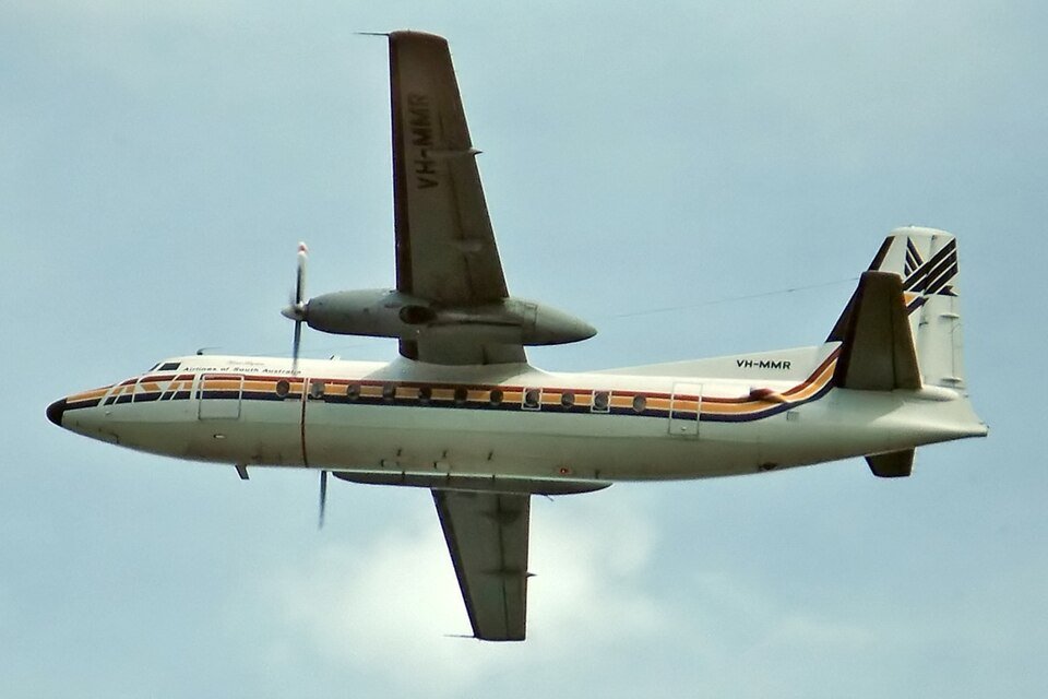
Find flightsPartner link · Aviasales · Photo: Daniel Tanner · CC BY-SA 4.0
 02
Car at MQT
Pick up at the airport and drive straight to Pictured Rocks. Compare rental companies in one search.
Compare rentalsPartner link · EconomyBookings · Photo: JustAnotherCarDesigner · CC0
 03
Store extra bags
Early arrival or late flight home? Drop luggage nearby and keep the car light for the park.
Find storagePartner link · Radical Storage · Photo: formulanone · CC BY-SA 2.0
04 · First night near Pictured Rocks
Sleep close after the drive so day one starts in the park.
 04
Hotels near Pictured Rocks
Compare hotels and lodges on the way in, with free-cancellation filters.
Search ExpediaPartner link · Expedia · Photo: Ken Lund from Reno, Nevada, USA · CC BY-SA 2.0
 04
Cabins & homes near Pictured Rocks
Whole homes and cabins for families or groups who want a kitchen and space.
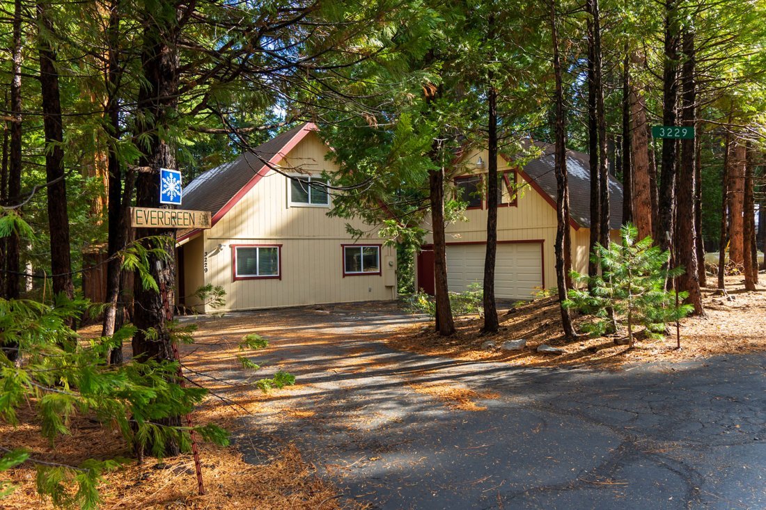
Search VrboPartner link · Vrbo · Photo: Bobbyvaughnevergreen · CC0
Before you land
Reservations
Maritime History and Backcountry Permit Management
All backcountry camping requires a pre-booked permit via Recreation.gov, often selling out months in advance for the summer season. Boat cruises and guided kayak tours are separate commercial entities; check their official sites for availability as these are the primary ways to see the cliffs.
Official reservation infoBest time to fly in
June – September
Quick answers
What is the closest airport to Pictured Rocks?
Marquette Sawyer Regional Airport (MQT) is the nearest commercial airport we route from.
How long is the drive from MQT to Pictured Rocks?
Roughly 2 h 17 min (about 75 miles) by car, without stops. Times are estimates.
Do I need a reservation to visit Pictured Rocks?
All backcountry camping requires a pre-booked permit via Recreation.gov, often selling out months in advance for the summer season. Boat cruises and guided kayak tours are separate commercial entities; check their official sites for availability as these are the primary ways to see the cliffs.
