Mount Shasta

Mount Shasta

A majestic volcanic peak offering spiritual retreats, alpine lakes, and year-round outdoor adventure.

Best time
June – September
Duration
2–4 days
Avg. budget
$185 / day
Scenic score
10 / 10
Camping score
9 / 10

Reservations · Moderate

Climbing Permits and Seasonal Road Access in High Country

While the town of Mount Shasta requires no entry fee, specialized permits are mandatory for any travel above 10,000 feet on the mountain. Wilderness permits for the day are available at trailheads, but summit passes and specific overnight zones require checking current Forest Service quotas. Access to the Everitt Memorial Highway is seasonally limited by snowpack, and reservations for developed campgrounds often fill months in advance during the short summer window.

Check official reservation info

Fly in · nearest airport

RDDMount Shasta

Redding Municipal Airport · 1 h 32 min drive

Find flights to RDD

Partner link · Aviasales

Where you'll want to sleep

View all stays

Checks availability with the partner directly — not a confirmed booking on our end.

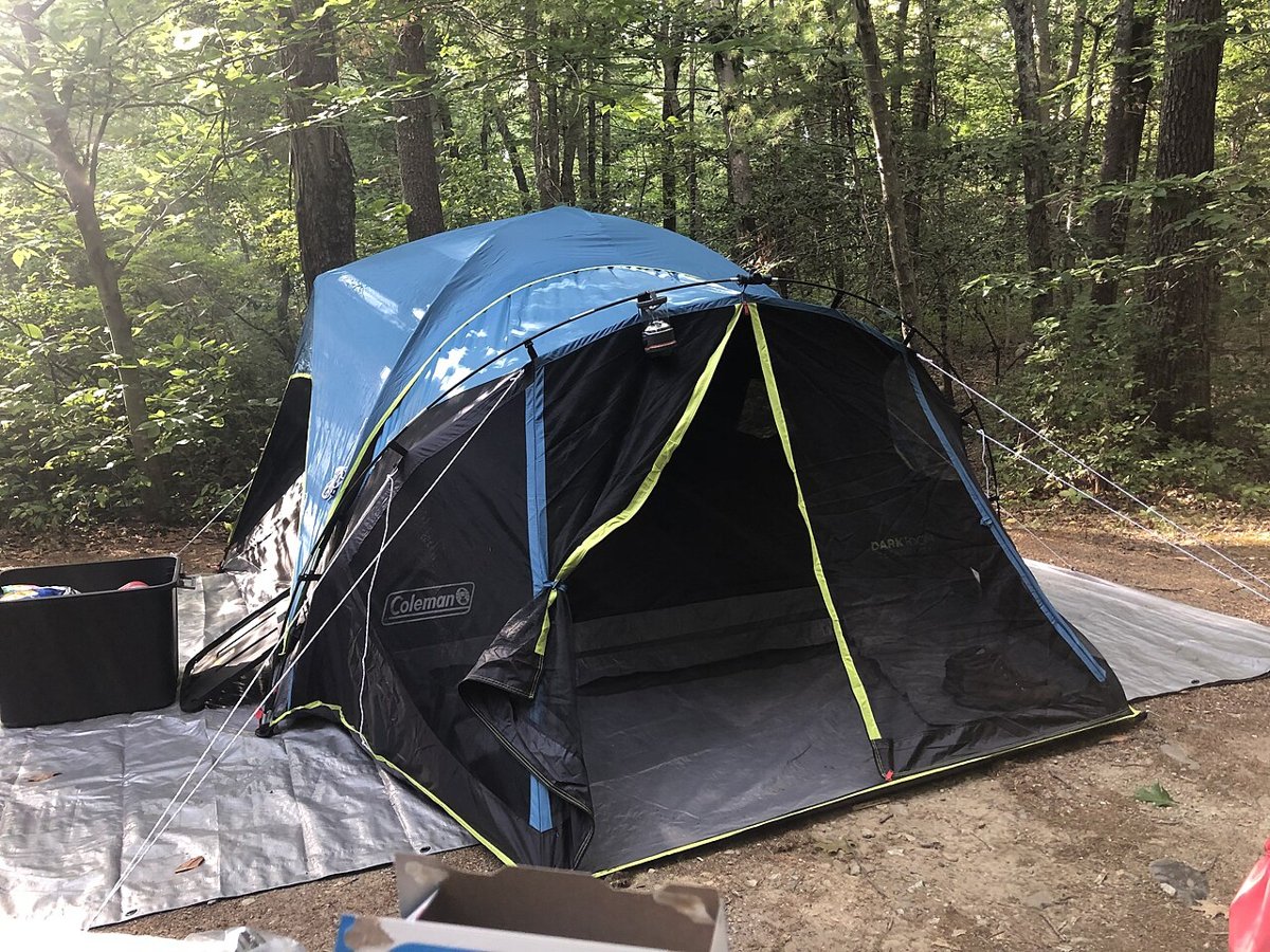
Camping tent on tarp.jpg, illustrative accommodation photoIllustrative · Eden Aviv · CC0Outside the park · easier to book

Campsites near Mount Shasta on Campspot

Campground

Best for: Tent camping

Private campgrounds, cabins and glamping just outside the park, often with availability when park sites sell out.

Est. from $35/night · estimateCheck availabilityPartner link · Campspot

Vrbo

Cabins & vacation rentals near Mount Shasta

  • Whole-home cabins and mountain lodges
  • Kitchens, fire pits and room for the crew
  • Pick dates on Vrbo for live prices
See cabins on Vrbo

Expedia

Hotels & lodges near Mount Shasta

  • Hotels in nearby gateway towns
  • Resorts, inns and last-minute rooms
  • Easy to pair with flights and cars
See hotels on Expedia

Photos are illustrative, not actual listings. Opens Vrbo's or Expedia's own search. Minialife may earn a commission on bookings, at no extra cost to you.

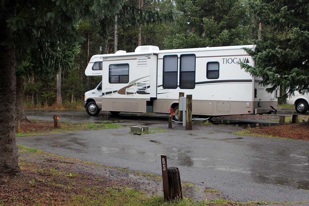
Traveling by RV near Mount Shasta?

Stay overnight free at wineries, farms & breweries

Harvest Hosts membership: 5,000+ unique RV stops. Minialife readers get 20% off the first year.

Get 20% off

Partner link · Harvest Hosts

Minialife may earn a commission when you book through links on this page, at no extra cost to you. Learn more

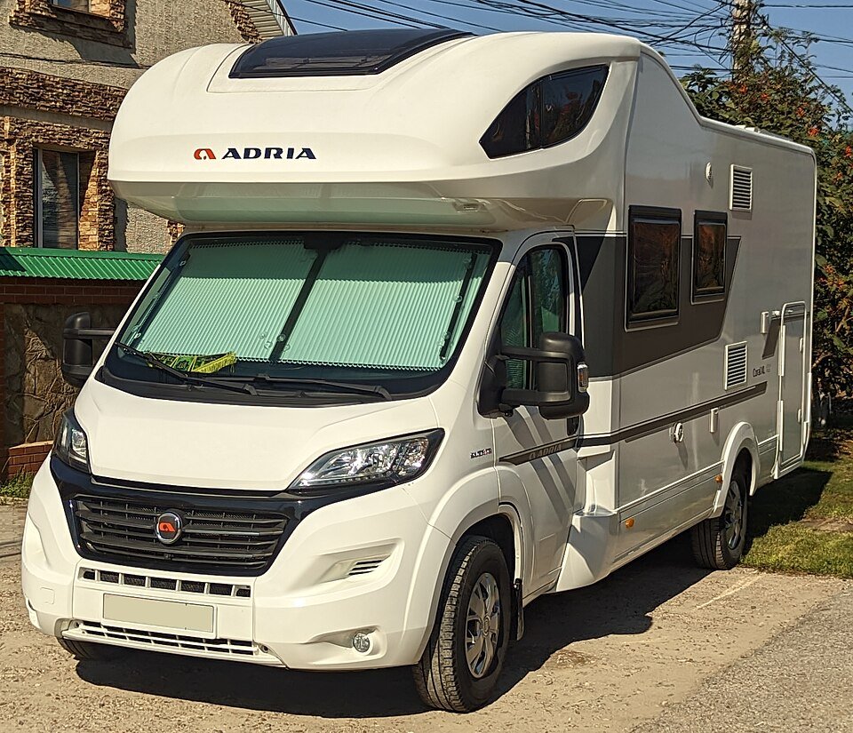
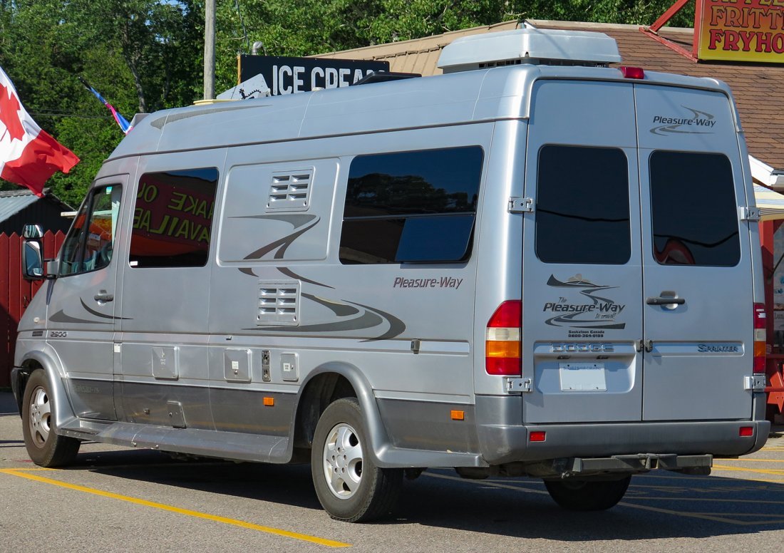
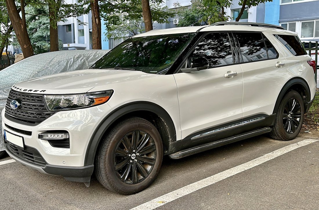
RVs, campervans & cars near RDD

View all rentals

Checks availability with the partner directly — not a confirmed booking on our end.

A little structure. Plenty of freedom.

3 days in Mount Shasta

  1. 01

    Glacial Vistas and High Alpine Slopes

    Suggested: 8:30 AM from Mount Shasta City

    • Bunny Flat Trailhead

      The primary access point for the mountain's southern slopes, offering immediate views of the volcanic peak and the base of the climbing routes.

    • Old Ski Bowl

      Drive to the highest road-accessible point on the mountain to observe the dramatic timberline ecology and sprawling views of the Trinity Alps.

    Allow 1 hour for mountain road ascent; conditions vary with snowmelt.

    Roads above Bunny Flat typically remain closed until July.

  2. 02

    Waters of the Sacramento Headwaters

    Suggested: 9 AM from Dunsmuir

    • Mount Shasta City Park

      Visit the Big Springs area where the headwaters of the Sacramento River emerge directly from the volcanic rock.

    • Mossbrae Falls

      Observe the unique spring-fed waterfalls cascading down the canyon walls near the Sacramento River corridor.

    Allow 45 minutes for local transit; pedestrian access to falls involves specific railway safety considerations.

    Check local signage regarding private property boundaries near the river.

  3. 03

    Basalt Basins and McCloud Waterfalls

    Suggested: 9:30 AM from McCloud

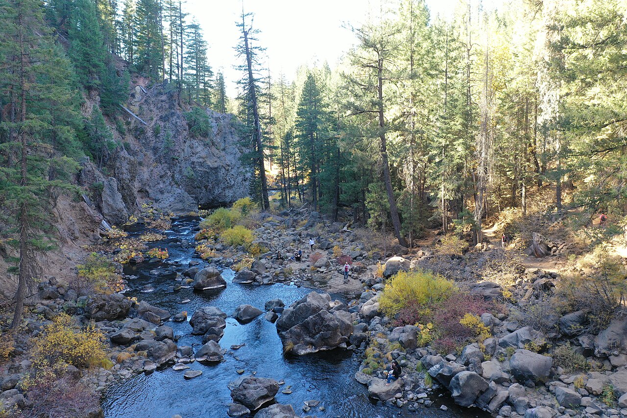
    • Middle McCloud Falls

      The largest of the three waterfalls on the McCloud River, featuring a wide curtain of water over a basalt ledge.

    • Lake Siskiyou

      A lower-elevation reservoir providing a mirrored reflection of the mountain's western face.

    Allow 1.5 hours for the loop between McCloud and the lake; conditions vary.

    Parking at McCloud Falls is highly limited during summer weekends.

Your first two hours

Collect your vehicle at Redding (RDD) and stock up on supplies in Redding or the town of Mount Shasta before checking into local inns or mountain lodges.

The right vehicle

A standard vehicle is fine for the main highway, but high-clearance is advised for unpaved forest service roads; check rental contracts for off-pavement restrictions.

Chase the light

Sunset from the shores of Lake Siskiyou, where the alpenglow hits the peak; timing varies significantly by month.

Plan your road trip

From Redding Municipal Airport

1 h 32 min

about 69 miles by car · times vary with traffic and road closures

Get directions

Airport-to-destination drive; sightseeing stops are separate markers.

Stays near the end of your drive

Know before you go

Summit Regulations

Self-issue permits are found at the Mount Shasta Ranger Station for those venturing into the wilderness. Always verify current volcanic activity monitoring via USGS.

Highway Service

Refuel in Mount Shasta City or Weed before heading up the Everitt Memorial Highway. There are no services available once you begin the ascent into the National Forest.

Trailhead Capacity

Bunny Flat serves as the main hub and often reaches capacity early in the morning. Have a secondary plan for lower elevation trails like Castle Lake if lots are full.

Canyon Connectivity

Expect total signal loss in the McCloud River canyon and high on the mountain slopes. Download offline navigation for the Shasta-Trinity National Forest area.

Snowmelt Windows

High altitude trails may remain under snow until late August. Check the local avalanche center or ranger station for current melt-off status.

Check current conditions:Shasta-Trinity National Forest

The moments you came for

View all activities

Plan deeper

More destinations you'll love

View all destinations